Coordinating disaster response when the network is down.
When disaster strikes, dozens of agencies must coordinate with no cell towers, no internet, and no shared picture of the ground.
The Pathfinder Rapid Assessment System gave emergency responders, government agencies, and relief organizations that shared picture — proven across 25+ major deployments including the BP Oil Spill and hurricane operations throughout the US and Caribbean. I owned the roadmap and execution: market research, competitive analysis, and delivery of a platform that processed over 48,000 field reports in a single deployment.
Patented mobile data collection
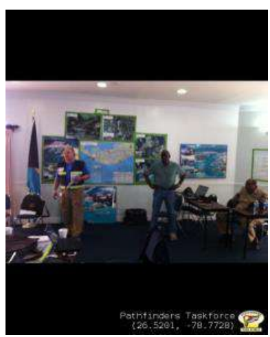
GPS-geocoded, time/date-stamped field reporting on iOS and Android — 18,000+ geotagged photos collected in one deployment alone.
Fully disconnected operations
Functions without cell towers or internet: local storage, Bluetooth synchronization, and automatic upload when connectivity returns.
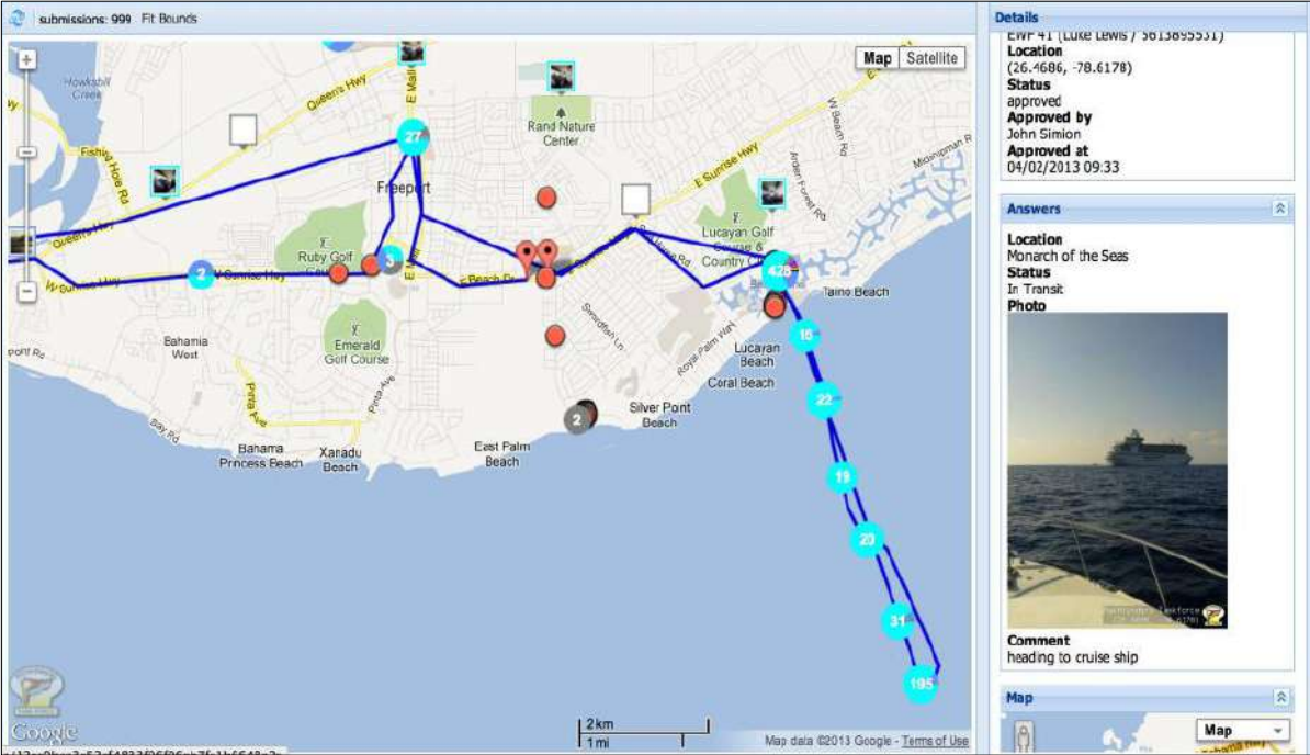
Interactive command mapping
Live incident mapping, resource tracking, and hazard visualization with Google Earth and ArcGIS compatibility — serving three command centers simultaneously.
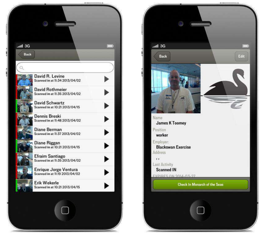
15-minute rapid training protocol
A crisis-optimized interface any responder could learn in minutes — 125+ field observations per hour and a force multiplier through local training.