SIDE PROJECT 13 / 13
Miami Voting
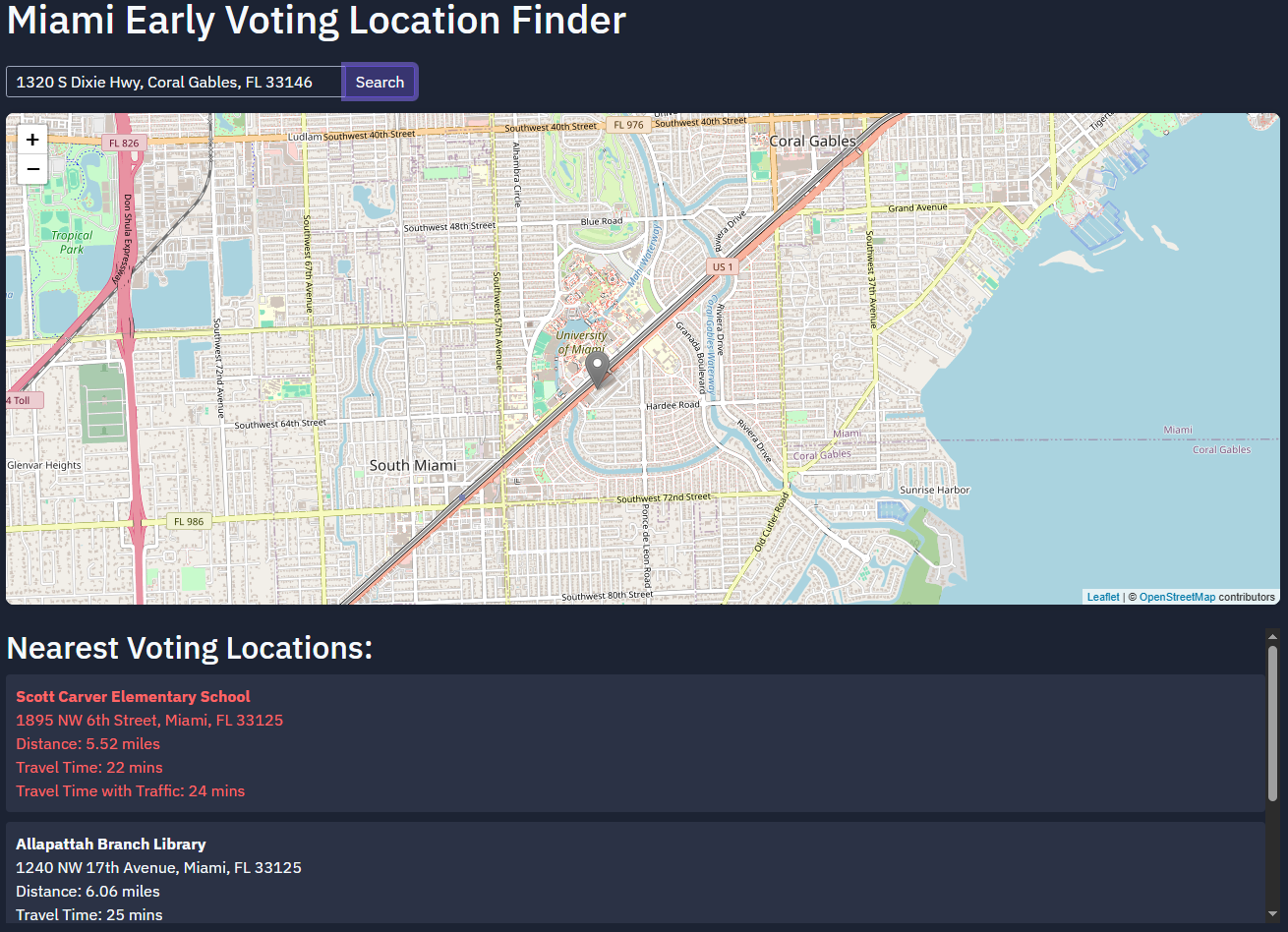
Helping Miami-Dade County residents find their voting location, fast.
This civic-tech tool simplifies finding voting locations for Miami-Dade County residents, integrating multiple data sources and mapping technologies for accurate, up-to-date results.
Miami-Dade
COUNTY COVERAGE
SERVES LOCAL RESIDENTS
Live
LOCATION DATABASE
COMPREHENSIVE & CURRENT
Multi-modal
TRANSPORTATION
ROUTE OPTIONS
A11y
ACCESSIBLE DESIGN
FOR ALL USERS
ABOUT
It features an intuitive search interface, interactive mapping, and accessibility features so all residents can easily reach voting information — strengthening democratic participation through better access.
- Address-based location search with Google Maps integration.
- Driving directions and multi-modal transportation routes.
- Election date tracking and voter education resources.
- Screen-reader compatible, accessible design throughout.
HOW IT WORKS
01
Location search
Find the right polling place fast.
- Address-based search
- Google Maps integration
02
Navigation
Get there without friction.
- Driving directions and routes
- Multi-modal transportation options
03
Civic accessibility
Built for every resident.
- Screen reader compatibility
- Voter education resources
UNDER THE HOOD
ReactGoogle Maps APIGeolocation